
By Admin. Updated 1:18 p.m., Friday, July 3, 2026, Atlantic Standard Time (GMT-4).
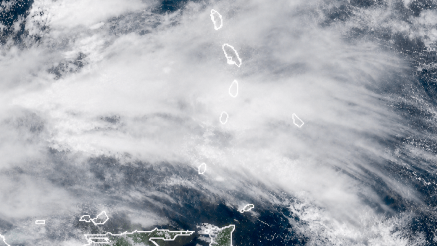
Residents across St Vincent and the Grenadines are being urged to remain vigilant this afternoon as a tropical wave continues to move across the islands, bringing an increased likelihood of moderate to heavy showers and isolated thunderstorms.
According to the St Vincent and the Grenadines Meteorological Services, conditions at 12:00 noon on Friday, 3 July, were overcast and slightly hazy, with a temperature of 27.1°C, relative humidity at 91 per cent, and northeast winds blowing at 17 km/h (10 mph). The Met Office also recorded 6.8 millimetres of rainfall during the previous 24 hours.
Forecasters say the tropical wave will influence weather conditions through to 6:00 p.m., with skies expected to remain mostly cloudy, slightly hazy and breezy. Periods of moderate to heavy showers and isolated thunderstorms are also forecast.
The Met Office has issued a weather advisory, warning that residents and motorists in areas prone to flash flooding and landslides, as well as those living or travelling near rivers and streams, should exercise caution as rainfall intensifies.
Winds are expected to range from east-northeast to east-southeast at 15 to 35 km/h (9 to 19 mph), with stronger gusts likely in and around showers.
At sea, conditions are forecast to be slight to moderate in open waters, with swells of 1.2 to 2.0 metres. Small-craft operators and sea bathers are advised to exercise caution due to above-normal swells and occasional gusty winds.
The Meteorological Services said the sun is expected to set at 6:35 p.m.
Motorists are encouraged to reduce speed on wet roads, while residents are advised to monitor official weather updates and avoid crossing flooded roads, rivers and streams, particularly during periods of heavy rainfall.
END